Services
At LCS Vac Ltd, we provide specialist vacuum excavation, utility locating, and ground penetrating radar (GPR) services to clients across the North West of England and nationwide. Our focus is on safe, non-destructive excavation and accurate underground utility detection to support construction, civil engineering, and infrastructure projects of all sizes.
Safe Dig
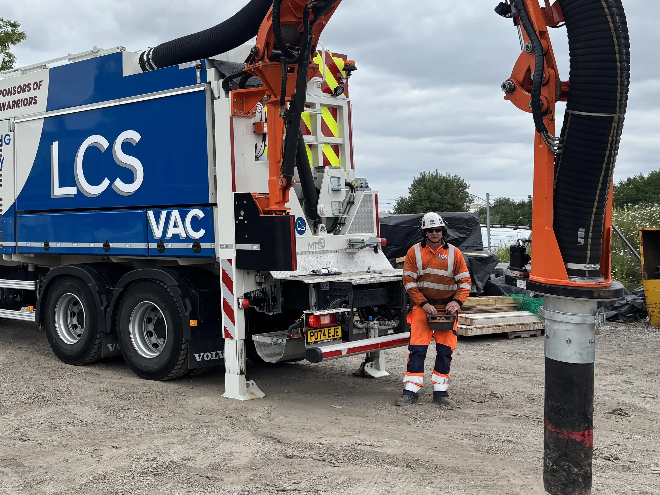
Safe Dig with vacuum excavation is a precise, non-destructive method of exposing underground utilities using high-powered suction and pressurized air or water, ensuring maximum safety and minimal site disruption. We offer professional vacuum excavation services using advanced suction and air or hydro excavation technology. This method allows us to safely expose buried utilities without damaging pipes, cables, or surrounding infrastructure. Our non-invasive digging techniques are ideal for high-risk environments involving gas mains, electric lines, water pipes, telecoms, and more. Whether you're working in urban, industrial, or remote locations, LCS Vac Ltd delivers safe and efficient excavation solutions.
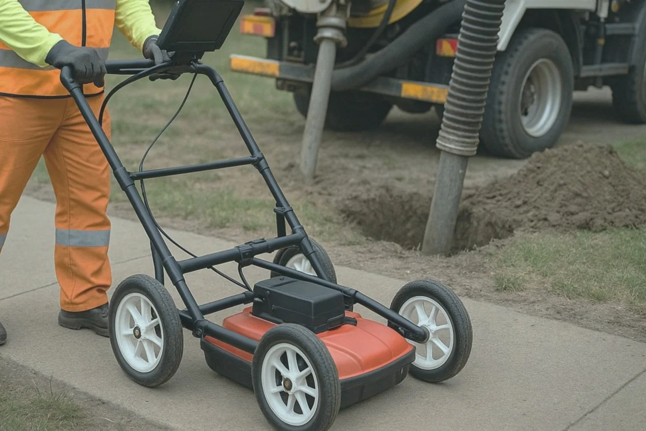
Our Ground Penetrating Radar (GPR) scanning services combined with vacuum excavation provides a highly accurate and non-destructive method for locating and confirming underground utilities, using radar technology to detect subsurface features and vacuum excavation to safely expose them for verification. This advanced radar technology helps locate both metallic and non-metallic utilities, voids, and unknown underground features. Perfect for pre-construction surveys, risk assessments, and utility avoidance, GPR improves job site safety and prevents costly utility strikes.
GPR
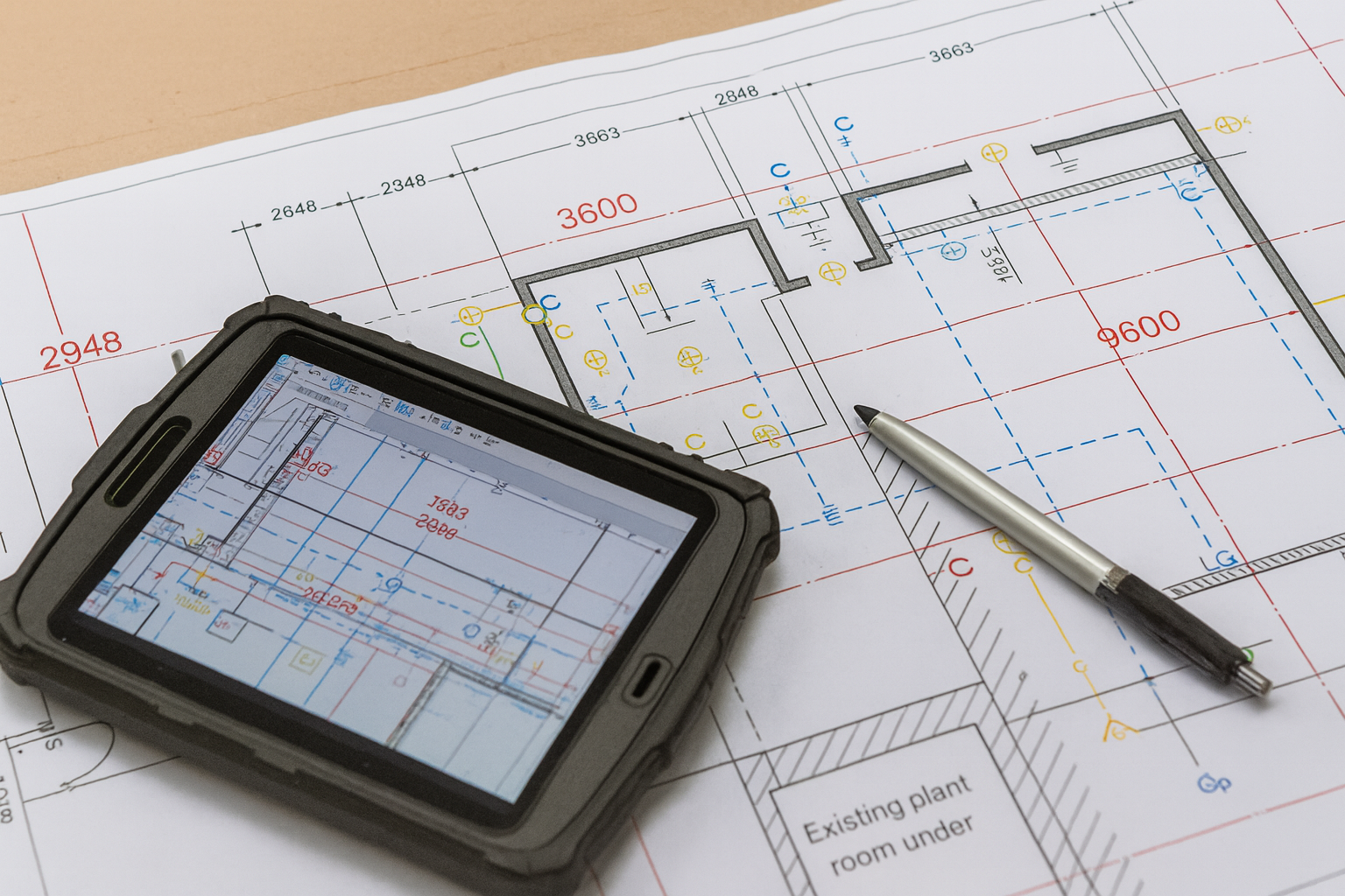
Vacuum excavation surveying is a non-invasive method of locating and verifying underground utilities with high accuracy, using suction and pressurized air or water to safely expose assets while minimizing surface disruption. Once utilities are exposed, our team conducts precise utility surveys to capture their location, depth, and condition. We produce accurate as-built documentation and underground asset mapping, helping your team stay compliant, reduce future risk, and improve planning accuracy. All data can be provided in formats suitable for CAD, GIS, or project-specific requirements.
Survey